Now-a-days, GIS (Geographic Information System) and RS (Remote Sensing) are very prevalent among explorers as well as it is worthwhile for carrying out a graduate level or undergraduate research. For assisting you in writing an effective proposal for your undergraduate project, a sample proposal is proposed here which primarily deploys the potential of RS and GS:
Project Title: Assessing Urban Green Space Distribution and Accessibility Using Remote Sensing and GIS
Summary
For environmental conservation and public health, UGS (Urban Green Spaces) is very essential which efficiently reduces urban heat islands, improves air quality and renovates the specific regions. By adopting RS (Remote Sensing) and GIS (Geographic Information system) applications, this research intends to assess the allocation and availability of urban green spaces.
Goals
- Deploy satellite images to represent existing allocation of urban green spaces.
- For urban demographics, evaluate the availability of green spaces.
- Based on availability of green spaces, detect the less favourable environments.
- Reflecting on urban planning and green space utilization, offer probable suggestions.
Data Sources
- Remote Sensing Data: From environments such as Sentinel-2 or Landsat, acquire high-resolution satellite imagery.
- GIS Data: Through publicly accessible settings such as OpenStreetMap or from city planning departments, it includes data sources like land use maps, road networks and demographic data.
Methodology
- Data Collection: The satellite images and GIS data needs to be collected and pre-processed. To detect green spaces, it might encompasses categorization of land cover, spatial referencing and image correction
- Green Space Mapping: To sort out and represent each green space in the city, make use of remote sensing data. For classifying the vegetation from other land cover types, implement productive methods such as NDVI (Normalized Difference Vegetation Index) or supervised categorization.
- Availability Analysis:
- Network Analysis: From diverse urban areas to the closest green space, establish GIS to estimate the travel time by examining the road and pathway networks through conducting network analysis.
- Buffer Analysis: In order to visualize physical availability, develop buffers around every green space.
- Population Analysis: For evaluating which demographic groups provide sufficient access to green spaces, it includes population data.
- Statistical Analysis: By means of detecting any access inequalities, crucially examine the relationship between green space availability, socio-economic data and population density.
- Suggestions for Urban Planning: Recommend some areas where availability must be enhanced or where novel green spaces are required in accordance with the result.
Predicted Result
- For various demographics, it might offer an extensive map of urban green spaces and its availability.
- The regions which are inadequate in accessibility of green spaces are provided in an elaborated report.
- As regards green space allocation, enhance urban planning by implementing policy proposals.
Tools and Software
- GIS Software: Considering mapping and geographical analysis, it includes QGIS and ArcGIS.
- Remote Sensing Software: To process and evaluate satellite images, utilize remote sensing software like ENVI or ERDAS IMAGINE.
- Statistical Tools: For comparison research and data analysis, the statistical tools involved such as Python or R which use libraries like Pandas and GeoPandas.
Outputs
- It is required to consider maps of urban green spaces and availability indices.
- Encompassing reviews, results, methods and suggestions, an extensive final report should be provided.
- Make a summary of project findings and policy impacts and exhibit your presentation.
What are the interesting project topics using GIS?
According to your intriguing area in the GIS (Geographic Information System) domain, select a deserving and impactful topic. For educational and career advancement, some of the interesting and novel project concepts on GIS are suggested by us:
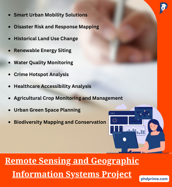
- Smart Urban Mobility Solutions
- Research Description: It mainly focuses on enhancing the urban transportation system and decreasing the traffic jam. For public transportation, apply GIS to develop advanced paths and plans by evaluating the capability of public transportation, pedestrian data and traffic patterns.
- Disaster Risk and Response Mapping
- Research Description: Considering the natural disasters such as cyclones, earthquakes and floods, detect the highly affected regions through creating a GIS based system. For temporary shelters, plan some escape paths and places.
- Historical Land Use Change
- Research Description: On the basis of agricultural lands and ecological areas, employ GIS for interpreting the urban growth by assessing the historical land use modifications for a few periods. As regards renewable land management, this research offers strategic data.
- Renewable Energy Siting
- Research Description: Regarding determinants like similarity with transmission lines, wind patterns, solar radiation levels and land use, detect the best places for renewable energy sources such as solar panels and wind turbines by acquiring the benefit of GIS.
- Water Quality Monitoring
- Research Description: To support conservation practices, this project involves detecting the pollution sources and patterns in the course of time. For observing the water quality in lakes and rivers, synthesize ecological data from numerous sources through modeling a GIS framework.
- Crime Hotspot Analysis
- Research Description: For the purpose of developing public security and crime prevention, this research assists law-enforcement authorities and economic consultants in the process of formulating productive tactics. To detect and represent crime hotspots, establish GIS to estimate crime data environmentally.
- Healthcare Accessibility Analysis
- Research Description: Specifically in less favoured areas, scheduling and resource utilization and smart healthcare, examine the availability of healthcare services through representing the areas of healthcare utilities and incorporating population data.
- Agricultural Crop Monitoring and Management
- Research Description: It is likely to provide insights into precision framing techniques. To handle agricultural inputs and observe the crop productivity and health in an effective manner, implement GIS which integrates with remote sensing data.
- Urban Green Space Planning
- Research Description: On the basis of availability, modern land use and population density, suggest areas for novel parks. Use GIS to detect an environment which is insufficient in an eco-friendly place through assessing the urban regions.
- Biodiversity Mapping and Conservation
- Research Description: This study contributes data on biological geography and attacks to their environment through assisting conservation practices. It efficiently deploys GIS to represent biodiversity hotspots and trace habitat loss.
- Archaeological Site Exploration
- Research Description: Depending on the design of landform and familiar archaeological data, this project forecasts the places of unexplored historical places by using GIS. Moreover, it provides further assistance in exploring cultural wealth and maintenance.
- Climate Change Impacts Visualization
- Research Description: Improving general awareness and formulation of policy are the main focus of this area. To visualize the modifications in vegetation trends and implications of climate change on melting of ice caps and sea levels, design interactive maps and systems with the help of GIS.
Remote Sensing and Geographic Information Systems Thesis
Get ready to dive into the world of Remote Sensing and Geographic Information Systems Thesis! Our team utilizes cutting-edge technology and stays up-to-date with the latest trends to ensure a smooth and efficient process. To help you grasp the concepts better, our developers will provide a concise overview of your project. Explore the exciting topics related to Remote Sensing and Geographic Information Systems Thesis below.
- Effects of GA on the inversion of linear and nonlinear remote sensing models
- Deep hierarchical representation and segmentation of high resolution remote sensing images
- Study on the production cost pricing model of quantitative remote sensing products
- Spatial information retrieval from remote-sensing images. I. Information theoretical perspective
- Study on information extraction of rape acreage based on TM remote sensing image
- Remote sensing information of mineralizing alteration extraction methods
- Monitoring and Risk Assessment of High-Temperature Heat Damage for Summer Maize Based on Remote Sensing Data
- Laboratory measurements of sea ice: connections to microwave remote sensing
- A novel multi-resolution segmentation algorithm for highresolution remote sensing imagery based on minimum spanning tree and minimum heterogeneity criterion
- Soil moisture inversion and validation based on new remote sensing platform
- Improved registration method for infrared and visible remote sensing image using NSCT and SIFT
- Study on shooting control algorithm of remote sensing control system for UAV
- Study of task managing strategy in remote sensing information analysis and service grid node
- Passive super-low frequency remote sensing technique for monitoring coal-bed methane reservoirs
- Building damage detection from post-quake remote sensing image based on fuzzy reasoning
- SAR-EDU – A German education initiative for applied Synthetic Aperture Radar remote sensing
- Research on urban heat island effect during Beijing urbanization process by remote sensing and its impact on environmental health
- A stream computing based apporach for updating waterlogging infomation on remote sensing images
- The National Entironmental and Geological Information System for Remote Sensing Survey and Monitoring
- The component-based design and development of remote sensing system for drought monitoring